Twenty-Nine
Apr 25, 2007 - 2:07
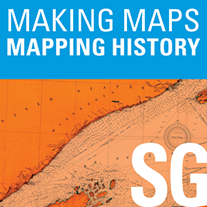
Map of the County of Milwaukee, Wisconsin (upper left quadrant). H.F. Walling, 1858.
Twelve is an episode from Making Maps, Mapping History by University of Wisconsin Sea Grant Institute. Map of the County of Milwaukee, Wisconsin (upper left quadrant). H.F. Walling, 1858. The episode was published on Apr 11, 2007 and runs f...
This episode belongs to Making Maps, Mapping History.
Use the player on this page to stream the episode online.
Published Apr 11, 2007, 1:26 long, audio available.
Continue listening to more episodes from Making Maps, Mapping History.
Apr 25, 2007 - 2:07
Apr 23, 2007 - 1:46
Apr 22, 2007 - 2:09
Apr 21, 2007 - 1:39
Apr 19, 2007 - 2:01
Apr 12, 2007 - 1:58
Apr 9, 2007 - 1:14
Apr 7, 2007 - 2:20